Hike 6 - Capser Trail

This was our first hike of the year that felt more like a hike... rather than a walk. Madeline Island isn't very big, but does have a number of trails to explore and it's worth going there just for that. We decided to start with this one as it was close to the ferry when we arrived and we wanted to get our feet to the ground right away. The trail is only about 2 miles round trip - perhaps slightly longer if you take the Nucy Meech spur (as we did on the way out, but not on the way back). 

May 18th, 2018 Nikon-3.jpg

Hike #: 6

Trail: Capser Trail

Location: Madeline Island, WI

Trail surface: dirt

Date: 5/18/18

While I've been counting paved trails as hikes so far as part of my 50 hikes, my brain really considers a trail made of earth to be a legitimate hike. While Torrey Pines was an earth surface, it was crowded with people. This trail was not, although we did see a couple other people and the local school kids.

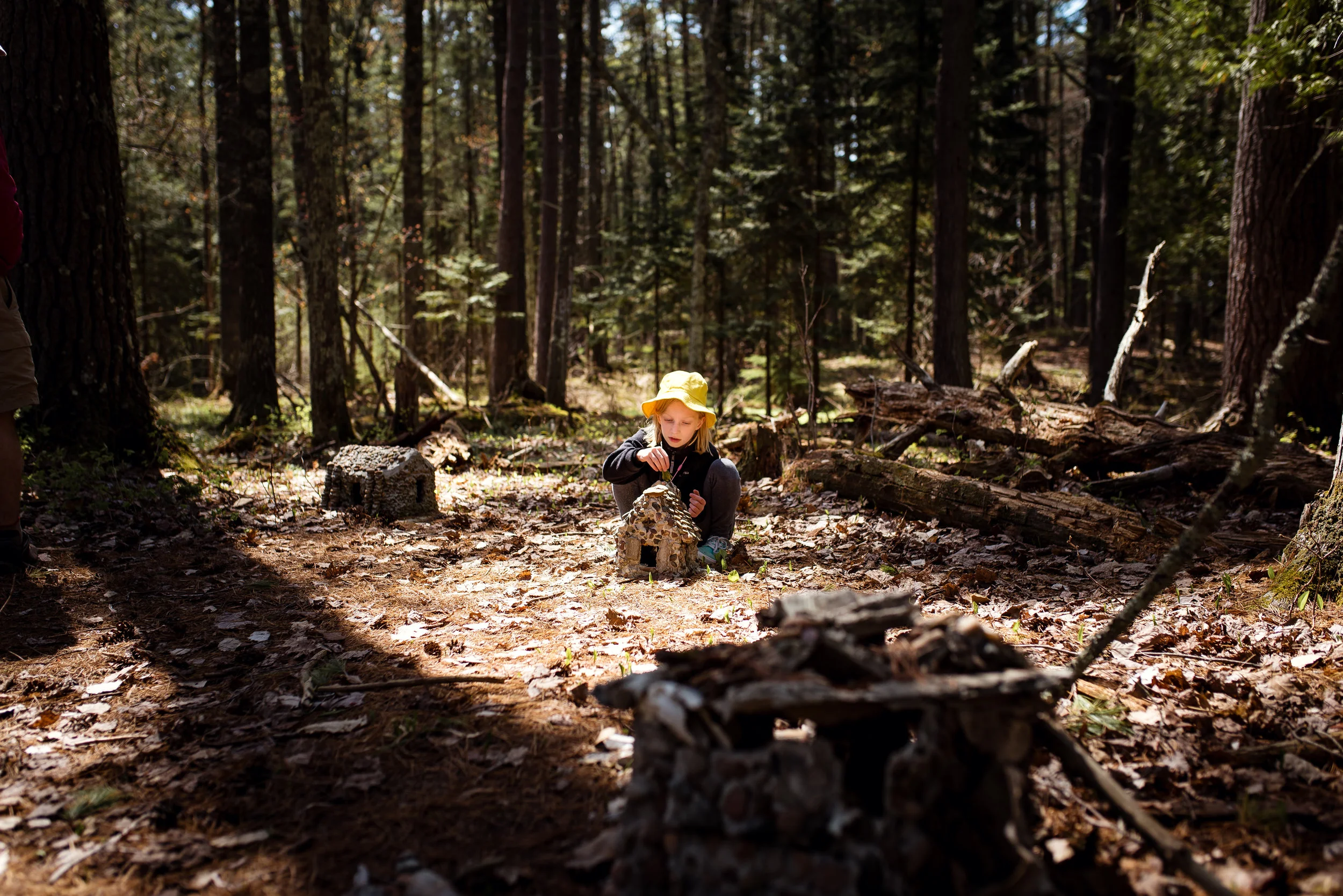
Speaking of the local school kids, apparently they use this trail a lot and even built a little village with houses made of stone and tepee's made of branches and bark. We almost missed it, but you can find it near the start of the trail on the left by the benches that are in a circle. We spent quite a bit of time there with our 8 year old imagining all the fairies that must live there. We hiked down to the overlook and back and saw a couple deer, and smaller critters along the way. I was surprised how one deer stayed somewhat close to us, but I suppose they are used to people on the trail.

May 18th, 2018 Nikon-67.jpg

While this trail was fairly short and easy (great for kids), it made my heart sing. I really felt like I had escaped and was truly out in nature. The village houses and wild animals were all bonuses to the walk. 

Jo: ★★★★

Jesse: ★★★★

Riley: ★★★★★

May 18th, 2018 Nikon-209.jpg

Check out my Madeline Island post to read more about our weekend camping trip here. 

Hike 5 - Clifton E French Regional Park

We were looking for a trail near my dad's house that we could visit after having lunch with him and decided on this one after discovering the other one was a 6 mile loop (that I'm sure Riley wouldn't be up to). We've all been to Clifton E French Regional Park before where we've hung out at the beach, played at the playground, and I've taken pictures of my niece here. The parking lot is a bit of a walk from the beach so during parts of the season they provide a shuttle which I've learned is the way to go as I never liked the trail to the beach. It's paved and next to the road... and not well shaded. The sun bounces up off the asphalt and makes it an uncomfortable experience so the shuttle is the way to go. 

But this trip was about finding some trails to walk and I knew there were more than the one to the beach. When we got there, we reviewed the posted map and headed off down a paved trail past the partially built playground (they've done a bunch of work at this park recently and are finishing up on the new playground). Turns out this path is a faster and more interesting way to the beach! Bummed that I didn't know this all those previous times, but glad I know it now. Unfortunately, it still loops around to the part I was familiar with. Walking on hot, fairly new asphalt is not a fun hike. I did see a trail spur that was a dirt path and attempted to veer off in that direction, but the signs said no hiking - apparently they were for cross country skiing. Other people were walking on them, but Jesse suggested we honor the signs so we did.

Hike #: 5

Trail: Clifton E French Regional Park

Trail surface: paved

Location: Plymouth, MN

Date: 5/6/18

The only picture I saved from this walk...

The only picture I saved from this walk...

Later when we were at home, I pulled up a trail map for here and discovered there are all sorts of dirt paths for hiking, including the one we avoided.  I'm annoyed by all of this so I'm hesitant to go back, but I also want to find the trails that I went there to hike in the first place... and I promised Riley a visit to the new playground when it's done.

Jo: ★★

Jesse: ★★

Riley: ★★

Hike 4 - Rice Creek North Regional Trail

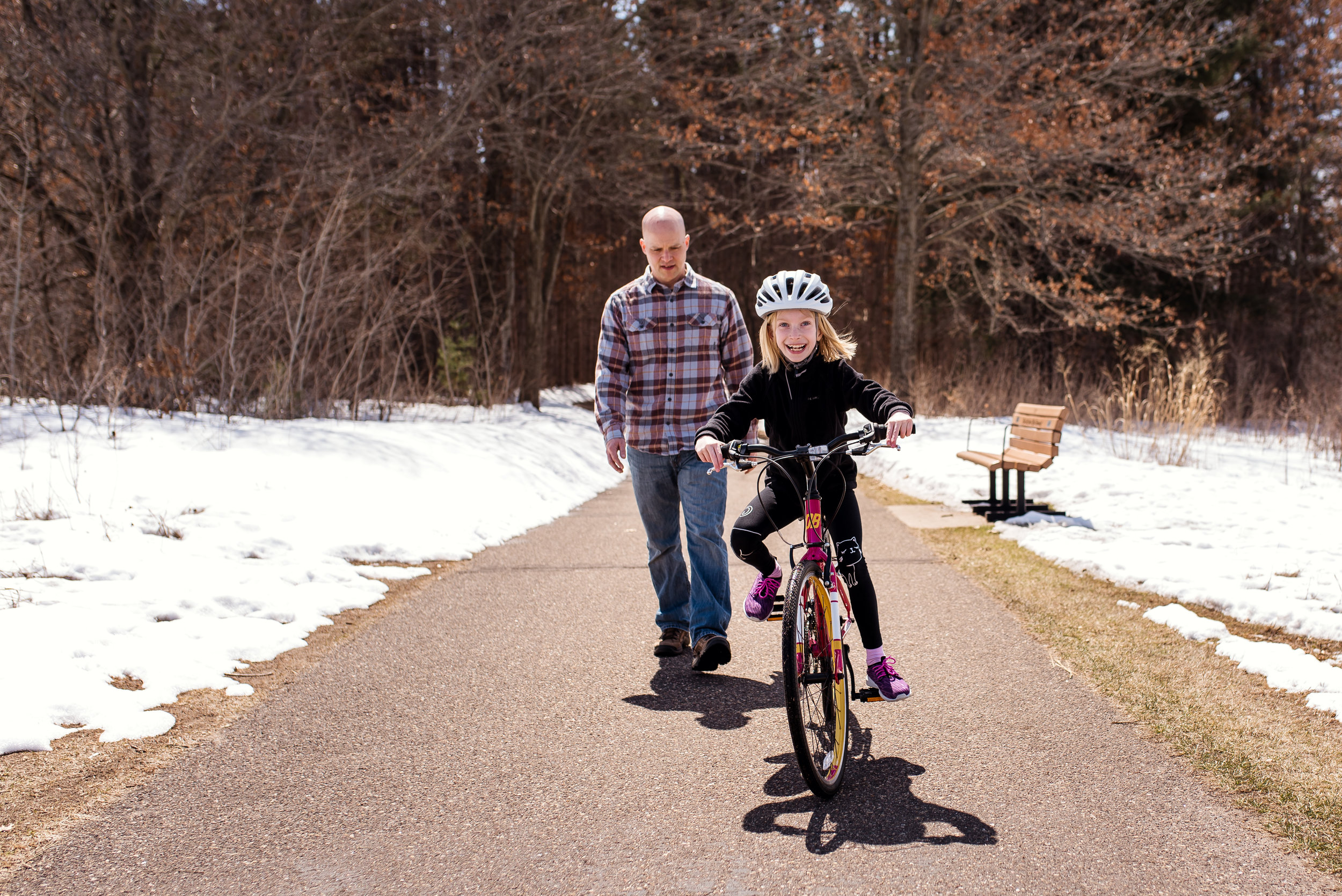
I discovered the Rice Creek Regional Trail Corridor when a couple friends posted pictures of their kids amongst a trail of tall pine trees and I knew I wanted to find out where that place was. The following week, after buying Riley a new bike, we headed off to this trail to test it out (while Jesse and I briskly walked behind).

April 21st, 2018-90.jpg

We basically walked from the tall pines down to the dog park and back. As with many of the trails we've hiked, there are multiple trails or spurs worth exploring. My photographer friend sent me a map pointing out things like 'cute bridge' which we completely missed turning off for since we were following our biking kid who was always a bit of a distance in front of us.

April 21st, 2018-96.jpg

Hike #: 4

Trail: Rice Creek North Regional Trail

Location: Circle Pines, MN

Trail surface: paved

Date: 4/21/18

April 21st, 2018-118.jpg

Our hike was one week post-blizzard and while the sun did most of the work, the trails were nice and clean and in good shape. The dog park looked fairly large and was quite popular when we were there. We wouldn't normally go out of our way for a trail like this, but I'm glad I did... and that's part of why I wanted to do this 50 hikes by 50 challenge - to explore new places. Jesse and I both were pleasantly surprised by this trail. I'll admit that I struggle with our 5 star rating system and get caught up between what makes a trail a 3 or a 4, and so forth. Basically, I try to rate it on how I felt about it that day, but also try comparing it to some of my favorite trails. At any rate, use it for guidance, but take it with a grain of salt...

Jo: ★★★

Jesse: ★★★

Riley: ★★★★